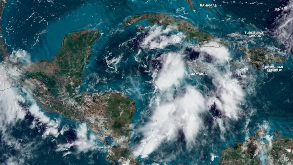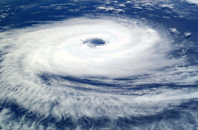
Hurricane Helene is expected to intensify into a strong storm with the potential to be catastrophic as it gets closer to Florida. Predictions suggest that the storm will intensify quickly; models estimate it may become a Category 4 storm before landfall. People living in Northwestern Florida, including places like Tampa Bay and Cedar Key, should prepare for a severe weather event that might include tornado activity, strong storm surges, and heavy rain.

CNN Weather
Current Track of Hurricane Helene
According to weather experts, Hurricane Helene is currently organizing near the Yucatan Peninsula and may pass over the Western tip of Cuba before heading toward Northwestern Florida. The HW Worf Model suggests that the hurricane will intensify rapidly as it moves over the warm waters of the Loop Current, making landfall on Thursday.
- Current Category: 4, expected to increase.
- Potential Impact Areas: Tampa Bay, Fort Meyers, Cedar Key, Nature Coast.
- Projected Landfall: Early Thursday (morning to afternoon), with possible intensification into a Category 5 hurricane.
Weather Models Predict Severe Impact
Several hurricane models, including the HWRF and HMON models, show varying projections, but all indicate that Northwestern Florida will face the brunt of Hurricane Helene.
HW Worf Model Predictions
The HW Worf Model shows the storm passing just to the west of the Tampa Bay area, potentially causing a devastating storm surge that could affect the entire region, including Fort Meyers.
- Category 4 or 5 Hurricane
- Major onshore flow affecting Northwestern Florida
- Heavy rains and flooding inland up to Southern Appalachians and Atlanta
HMON Model Predictions
The HMON Model predicts that Helene may hit areas closer to the Nature Coast or Steinhatchee, which could bring a life-threatening storm surge to Cedar Key and Appalachia Bay.
- Projected Category 5 storm hitting Appalachia Bay
- Storm surges in low-lying areas, especially in Cedar Key and surrounding areas
- Heavy rainfall, flooding, and wind damage expected

Factors Contributing to Hurricane Helene’s Intensification
The combination of a warm Loop Current and an upstream trough of low pressure are contributing to Hurricane Helene’s rapid intensification. As the storm moves over the warm waters of the Gulf of Mexico, its strength will increase, and the interaction with the upper-level trough will allow for additional lifting and storm development.
- Loop Current: Warm water system in the Gulf of Mexico, increasing hurricane intensity
- Upstream Trough: Low-pressure system, providing additional lift to the storm.
Possible Tornado Threat and Flooding Concerns
As Hurricane Helene pushes inland, meteorologists are warning of an increased chance of tornadoes, particularly in the Tampa Bay region and parts of the Southern Appalachians. The storm’s powerful convection and wind patterns are likely to trigger severe weather, including tornadoes. Additionally, the combination of the storm’s onshore tropical flow and the rugged terrain of the Southern Appalachians could lead to widespread flooding.
- Tornado Threat: Areas around Tampa Bay and further inland are at risk.
- Flood Risk: High potential for serious flooding in the mountainous regions, especially in Southern Appalachia.
Preparations and Emergency Response
Residents in the path of Hurricane Helene are advised to evacuate low-lying areas, secure property, and prepare for extended power outages and hazardous conditions. Emergency response teams are already mobilizing, and weather chasers, including Team Dominator, are on the ground tracking the storm.
- Evacuation orders in place for low-lying areas
- Secure property and prepare for potential power outages
Critical Information About Hurricane Helene: Category 4 or 5 Threat
- Hurricane Helene is expected to make landfall in Northwestern Florida as a Category 4 or 5 hurricane.
- Residents in affected areas must prepare for severe storm surges, flooding, and possible tornado outbreaks.
- Emergency plans and evacuations are already in motion for high-risk regions, and further preparedness is essential.


